AVAILABLE NOW! NEW!
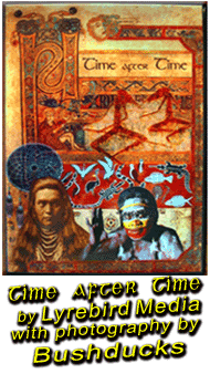
Lyrebird Media presents Time after Time, a film by Mairéid Sullivan and Ben Kettlewell, featuring additional photography by Bushducks; Maggie Pinder and Donald McGann.
This stunning film is a glorious blend of music, photography, history, poetry, and song and is a unique representation of the Celtic people of Ireland, the Native Americans of North America, and the Aboriginals of Australia, and the patterns and migrations that tie them all together. Bushducks' Irish photography is woven throughout the film, providing a unique backdrop for the soundtrack. |
||||||
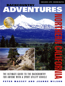
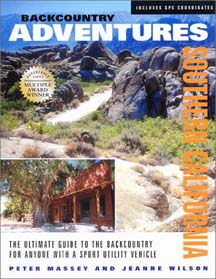
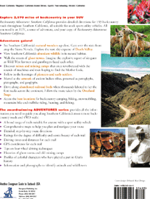
153 trails, ranging from easy graded roads to challenging 4wd trails. Includes easy day trips from Los Angeles and San Diego, the Anza-Borrego State Park, Mojave Desert, Death Valley, the southern portion of the Sierra Nevada and MORE.
See little-known scenic areas of the state from your 4wd.
Includes comprehensive sections on the history of the areas you travel through, flora, fauna,
noteworthy historical events and the people who shaped the regions.
Full color photos and maps for all trails.
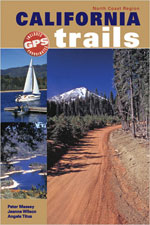 California Trails - North Coast Region
By Peter Massey and Jeanne Wilson
Full color regional guidebooks with complete details of 47 trails around Sacramento, Redding (west), Red Bluff, Clear Lake, Mount Shasta, McCloud, Yreka, Crescent City and Fort Bidwell. GPS coordinates, ratings, descriptions and histories for all trails.
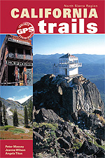 California Trails - Northern Sierra Region
Full color regional guidebooks with complete details of 55 trails around Sacramento (east), Red Bluff (east), Truckee, South Lake Tahoe, Sonora, Susanville, Chico, Oroville, Yuba City, Placerville, Stockton (east), Jackson, and Sonora. GPS coordinates, ratings, descriptions and histories for all trails.
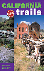 California Trails - High Sierra Region
Full color regional guidebooks with complete details of 50 trails around Fresno (north), Oakhurst, Lone Pine, Bishop, Bridgeport, Coulterville, Mariposa, and Mammoth Lakes. GPS coordinates, ratings, descriptions and histories for all trails.
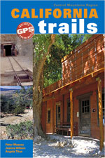 California Trails - Central Mountains Region
Full color regional guidebooks with complete details of 52 trails around Big Sur, Fresno, San Luis Obispo, Santa Barbara, Bakersfield, Mojave, and Maricopa. GPS coordinates, ratings, descriptions and histories for all trails.
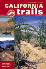 California Trails - South Coast Region
Full color regional guidebooks with complete details of 50 trails around Los Angeles, San Bernardino, San Diego, Salton Sea, Indio, Borrego Springs, Ocotillo and Palo Verde. GPS coordinates, ratings, descriptions and histories for all trails.
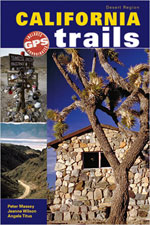 California Trails - Desert Region
Full color regional guidebooks with complete details of 51 trails around Lone Pine (east), Panamint Springs, Death Valley area, Ridgecrest, Barstow, Baker and Blythe. GPS coordinates, ratings, descriptions and histories for all trails.
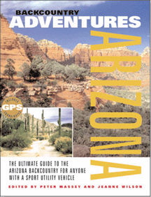 Back Country Adventures: Arizona
155 trails, ranging from easy graded roads to challenging 4wd trails. Includes trails around
Phoenix, Tucson and Flagstaff, all National Forests, KOFA NWR, Navajo Nation, Sedona, Colorado River and MORE.
See little-known scenic areas of the state from your 4wd.
Includes comprehensive sections on the history of the areas you travel through, flora, fauna,
noteworthy historical events and the people who shaped the regions.
Full color photos and maps for all trails.
NEW! See inside the book...
View a trail description.... Or directions... One of the natural history pages...
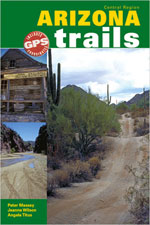 Arizona Trails Central Region
Full color regional guidebooks with complete details of 763 miles of trails around Phoenix, Wickenburg, Quartzite, Superior, Globe, and Yuma. GPS coordinates, ratings, descriptions and histories for all trails.
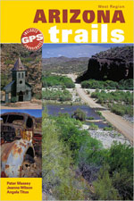
Full color regional guidebooks with complete details of 33 trails around Kingman, Bullhead City, Parker, Lake Havasu, Prescott (west) and Quartzite (north). GPS coordinates, ratings, descriptions and histories for all trails.
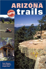
Full color regional guidebooks with complete details of 47 trails around Flagstaff, Winslow, Window Rock, Prescott, and Fort Defiance. GPS coordinates, ratings, descriptions and histories for all trails.
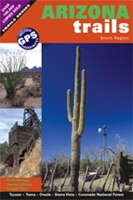
Full color regional guidebooks with complete details of 726 miles of trails around Tucson, Yuma, Oracle, Sierra Vista, Coronado National Forest, Ajo and Douglas. GPS coordinates, ratings, descriptions and histories for all trails.
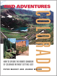 4WD Adventures: Colorado
70 trails that include most of the classic Colorado mountain pass adventures, pleasant back roads
and lesser known quiet trails through some of the most beautiful areas of the state. Includes trails
around Telluride, Ouray and the San Juans, Buena Vista, Gunnison, Crested Butte and MORE.
Includes comprehensive sections on the history of the areas you travel through, flora, fauna,
noteworthy historical events and the people who shaped the regions.
Full color photos and maps for all trails.
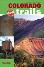 Colorado Trails North Central Region
Revised full color edition. A selection of trails from the north and central regions of Colorado. Includes such classic trails such as Red Cone, Webster Pass, Mosquito Pass, Hagerman Pass and more.
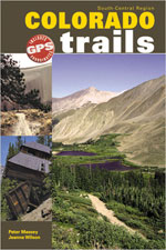 Colorado Trails South Central Region
By Peter Massey and Jeanne Wilson
New, full color edition. A selection of trails from the south and central regions of Colorado. Includes such classic trails such as Medano Pass, Tincup Pass, Tomichi Pass, Schofield Pass and more.
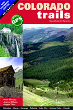 Colorado Trails Southwestern Region
By Peter Massey and Jeanne Wilson
A selection of trails from the southwest region of Colorado, including most of the classic trails in the San Juans and lesser known quieter trails. Includes Black Bear Pass, Ophir Pass, Imogene Pass, Bolam Pass and more. Black and white photos and maps and snippets of regional information.
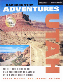
175 trails that include many little known and lesser explored area of this beautiful state.
Utah has mountain regions, deserts, lush forests and ghost towns. Includes many
of the slick rock trails around Moab, Dixie National Forest, the southwestern deserts, San Rafael Swell,
and much MORE.
Includes comprehensive sections on the history of the areas you travel through, flora, fauna,
noteworthy historical events and the people who shaped the regions.
Full color photos and maps for all trails.
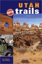 Utah Trails Moab Region
By Peter Massey and Jeanne Wilson
New, full color edition. A selection of trails from the popular southeastern region of Utah. Includes many popular classic trails around Moab, including Elephant Hill, White Rim Trail, Eye of the Whale Trail, Yellowcat Trail, plus some other lesser known trails of varying standards.
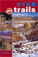 Utah Trails Southwest Region
By Peter Massey and Jeanne Wilson
New, full color edition. A selection of trails from the beautiful southwestern region of Utah. Includes many trails in the Dixie National Forest, Capitol Reef National Park. Trails include Hells Backbone, Barney Top Trail, Wolverine Loop, The Burr Trail and Tantalus Creek Trail.
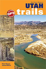 Utah Trails Northern Region
By Peter Massey and Jeanne Wilson
New full color edition. Trails from Utah's remote northern half. Trails covered include Frisco, Military Pass, Pony Express Trail, Hardware Ranch Road and Confusion Range Trail.
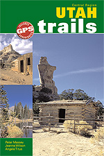 Utah Trails Central Region
By Peter Massey and Jeanne Wilson
New, full color edition. A selection of trails of varying standards, through the remote public lands of central Utah. Includes Kimball Draw, Black Dragon Pictographs Trail, Cathedral Valley Trail and Kimberley and Big John Trail.
All excerpts from Backcountry Adventure books are (c) Swagman Publishing and used with permission. All photos are (c) Bushducks.
Travel books are more than just informative! View a selection of recommended travel essays HERE. Some are side-splittingly funny, others insightful, yet others make you yearn to visit the destination.
Want guidebooks and other things Irish? View our list of recommended products.
Search Amazon.com and Amazon.co.uk for similar books on 4wd and outdoor recreation:
| ||||
READER'S INPUT:
What areas would you like to see covered by this backcountry adventure series? Email us.
![]()


Be informed when this site is updated: